Recently the OSMstats site achieved ten years worth of data; to celebrate it (and to apply new methods I’ve learned) I am currently developing a repository that gathers that data on a weekly basis, and uses it to update its own database.
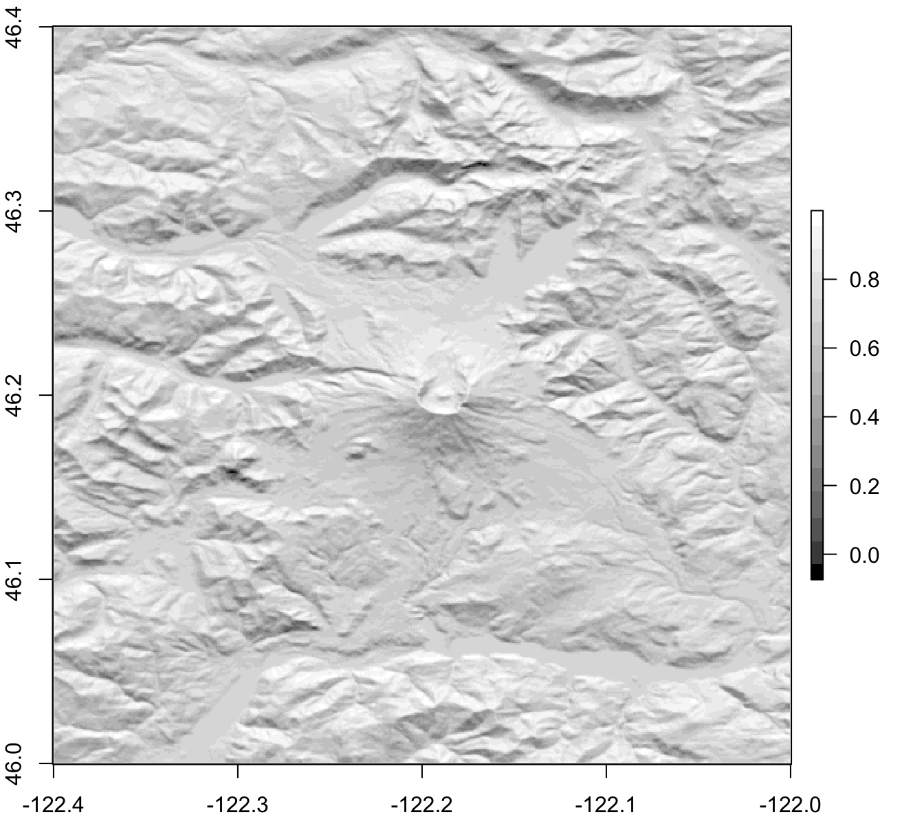
Presents how to request and download elevation data, through an API developed by NASA and USGS, and how to visualize the terrain using
raster.

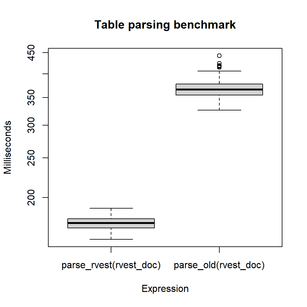
There’ve been changes in OSMstats, the website from which we obtained OpenStreetMap statistics; this is an opportunity to introduce
rvest and obtain such data more easily.

A linear model was fitted for each country, showing the evolution of OpenStreetMap through its daily created nodes.

A methodology based in web scraping is presented, in order to generate a choropleth map of accumulated nodes in each country.

